Accessible itinerary: Milano by tram
Along the route of tram 9

This is an itinerary by tram to see the ancient Spanish walls and reach the Navigli area.
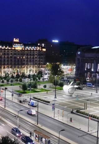
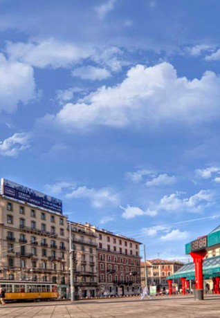
The itinerary starts from Piazza IV Novembre, a few steps from the Stazione Centrale, more precisely from the line 9 stop (with accessible platform).
How to get there
Piazza IV Novembre (adjacent to the Stazione Centrale) can be reached by the following public transport: tram 5, 9, 10; bus 42, 81, 87, 728; trolleybus 90, 91, 92 (in via Tonale).
Underground: M2 and M3 lines (Centrale stop).
For more information for passengers with disabilities, please visit the ATM web page.
Where to park
In Piazza Luigi di Savoia, near the railway station entrance, there is a parking space for disabled parking permit holders; in the square there are several parking spaces with blue stripes (close to via Pergolesi).
In Piazza IV Novembre, adjacent to the railway station entrance, there are four parking spaces for disabled parking permit holders; another parking space for disabled parking permit holders is located in via Sammartini.
Itinerary
Line 9 is entirely served by low-floor trams, accessible to people in wheelchairs.
For information on lines, hours, tickets and maps click here.
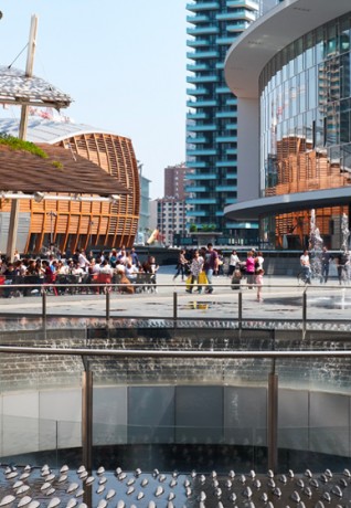
From Piazza IV Novembre, the tram runs through Milano's "Business Centre" and reaches the city centre. At the crossroads with Piazza San Gioachino, look to your right where a beautiful view opens onto the new residential district of Varesine where the "Torre Diamante" stands out with its 140 meters and 30 floors.
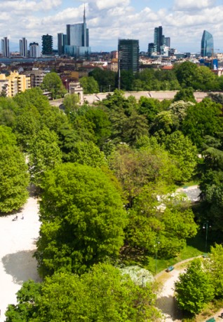
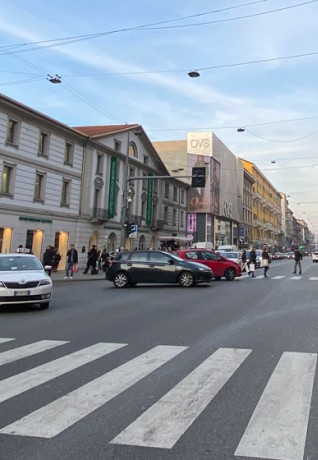
After passing these new buildings, the tram crosses Piazza Repubblica and then turns along the Bastioni di Porta Venezia. Here the route follows the ancient Spanish walls built in 1560 and now demolished (except for some stretches) along the so-called "Cerchia dei Bastioni".
In 1750 the walls were used as a public strolling area and the tops of the ramparts were equipped with benches and trees. Later, the architect Giuseppe Piermarini made a panoramic raised avenue from it: from every point of the walkway, it was possible to see the Cathedral, while from the northern part of the walls you could also observe the Alps and the surrounding countryside.
Then, during the nineteenth century, the walls were gradually demolished.
Some remains of the old walls are well preserved and visible along Viale Vittorio Veneto, in Piazza Medaglie d'oro (Porta Romana), where they form part of the perimeter of the Terme di Milano (Wellness Center) and in Piazza XXIV Maggio.
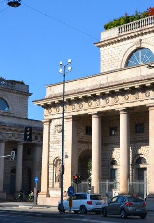
Viale Piave, Viale Premuda and Viale Montenero are long and elegant tree-lined avenues leading to Porta Romana, one of the historic gates of Milano, which was built in 1596 at the behest of Philip III of Spain, for the arrival into the city of Margherita of Austria-Styria, his future bride.
The tram then heads towards the Navigli. Get off at the Piazza XXIV Maggio stop (accessible tram platform) where you can choose between two options.
The first one is to go left, along the cycle/pedestrian sidewalk. When the cycle path ends, leave the Darsena (dock) on your right, cross Viale Gorizia and take the Alzaia Naviglio Grande (for the first 60 meters the road is downhill, with an average gradient of 6%, cobblestone pavement with a central paved path).
Striking and rich in atmosphere, the Naviglio Pavese, the Naviglio Grande and the Darsena are, with the Martesana canal, the last artificial channels that survived the complex water system that supplied Milano until the nineteenth century and which were largely covered between 1929 and 1930. Today they mark one of the coolest districts of the city, ideal for an evening drink or a dinner.
The second option, once you get off the tram, is to cross the cycle path, leaving the tram behind and walking towards the square (paved paving, average gradient of 4.5% only in the first part). After 30 meters, on the left, passing between the concrete street bollards, you enter the square of the Municipal Market (paved pavement). Take the pedestrian street between the market and the fruit and vegetable stands and continue towards the Darsena where, on sunny days, you can stop and enjoy the sun next to the water. Walk along the canal and at the end of the dock, you will find a slight steep road (slope of 3,5%) that will take you to Piazzale Antonio Cantore.
From Piazzale Cantore you can take the following public transport: trams 2, 9, 10 and 14, buses 74 and 94; they are all accessible with the exception of trams 2 and 10.
For more information for passengers with disabilities, please visit the ATM web page.

 Log in


